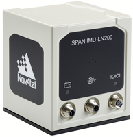
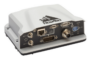
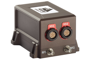
NovAtel SPAN GPS/IMU Technology
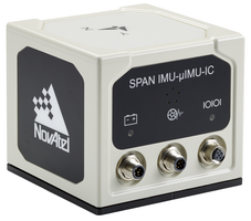
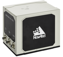
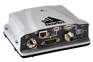
Frontier Geomatics Inc. is a full-service NovAtel SPAN representative for airborne and mobile mapping. SPAN is a positioning and attitude measurement system consisting of a GNSS receiver and an inertial measurement unit (IMU).
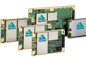
Unlike other technologies SPAN’s principle is very straight-forward: you connect an IMU to a NovAtel GNSS receiver. This tight hardware integration not only results in a much lower system price, but also brings important benefits with it. Only NovAtel's SPAN has this deep integration of IMU and GPS hardware that no other manufacturer can offer or attempts to compensate by software.
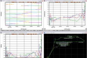
A GPS/IMU system does not have to be exclusive for scientists any more and is simple to operate. After all, it is just an aiding sub-system for your overall mapping projects.